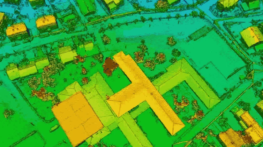
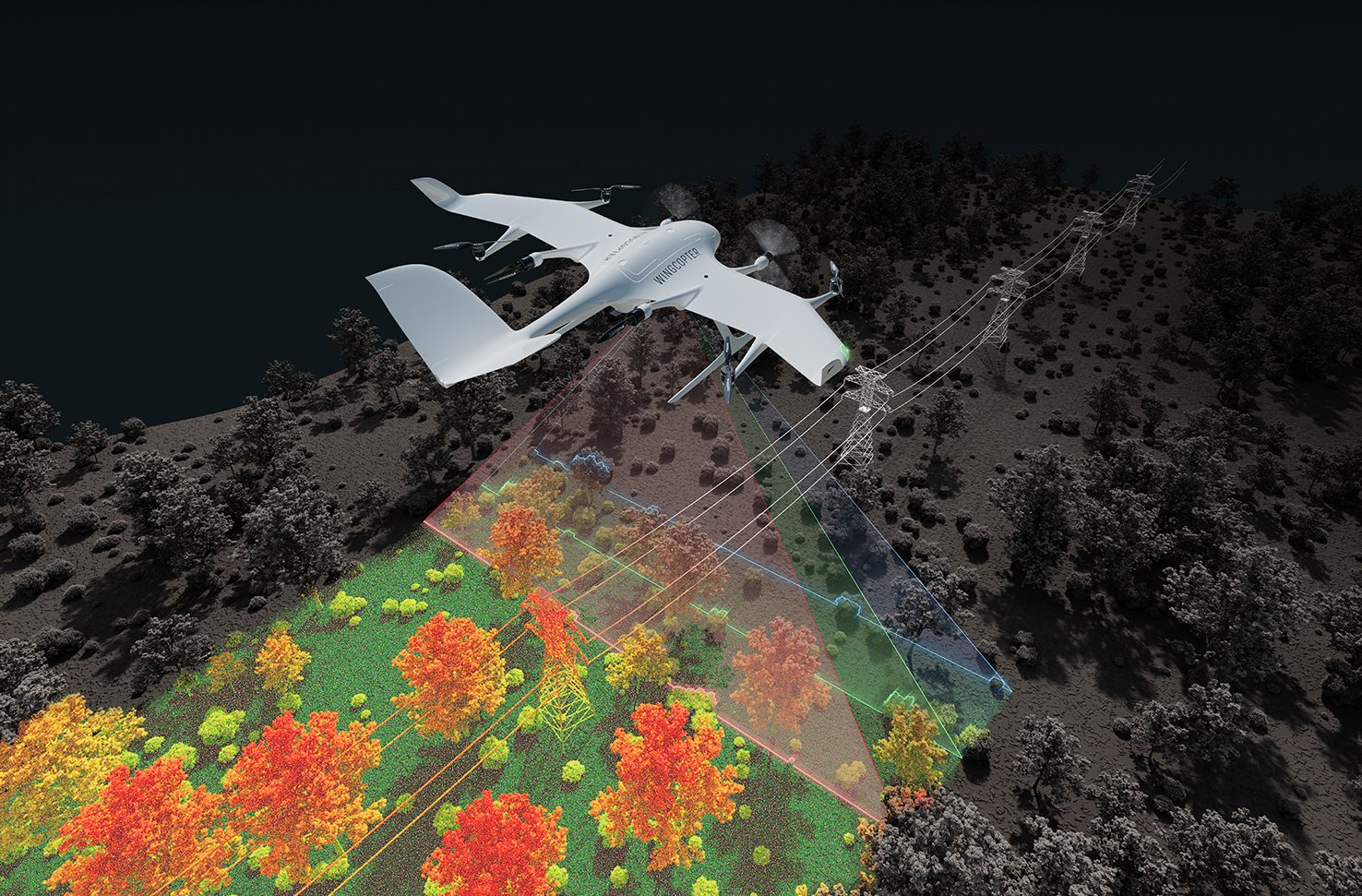
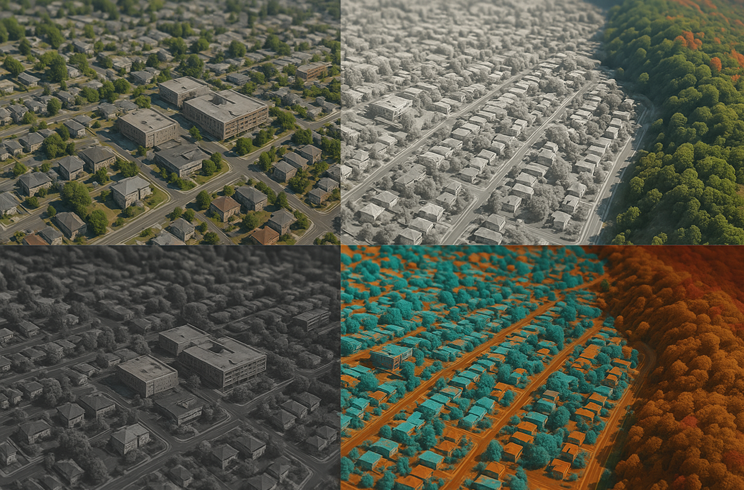
What is Multispectral Mapping?
Multispectral imaging captures data across various wavelengths—including both visible and near-infrared light—using sensors mounted on drones or satellites. This technology allows for the analysis of vegetation health, soil conditions, and water quality by detecting unique spectral signatures. It plays a vital role in agriculture, forestry, and environmental monitoring by providing detailed insights beyond the visible spectrum.
Where We Apply Multispectral Mapping
At Madar, we utilize multispectral imaging to extract valuable data from both visible and non-visible light spectrums for a wide range of applications.
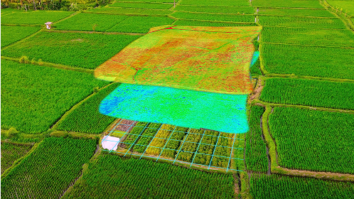
In agriculture, multispectral mapping assesses vegetation health, crop stress, and irrigation needs by analyzing reflectance in specific wavelength bands.
In forestry, it helps monitor canopy health, detect disease, and evaluate biomass for sustainable forest management and conservation efforts.
In environmental monitoring, this technology supports water quality assessment, pollution detection, and land-use change analysis using spectral insights.
In land management and research, multispectral data aids in soil characterization, erosion detection, and habitat assessment with scientific accuracy.